Area Maps
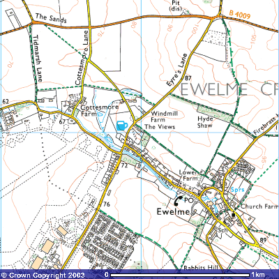
Ewelme centred on Eyres Close
Image produced from the Ordnance Survey Get-a-map service. Image reproduced with kind permission of Ordnance Survey and Ordnance Survey of Northern Ireland.
You can also see a map of where you live (or anywhere else) by defining its location by name, post code or grid reference. Click Here
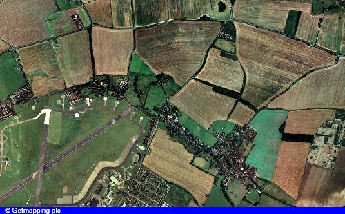
An Aerial view of Ewelme on roughly the same scale as the O.S map above. Now you can see how good the cartographers really were!. You can also obtain an aerial view of where you live or elsewhere by clicking here. Some more detailed aerial views can be found on the next page.
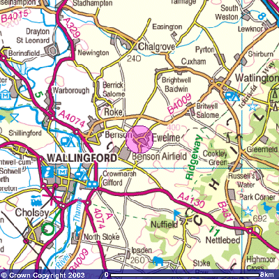
Area surrounding Ewelme
Image produced from the Ordnance Survey Get-a-map service. Image reproduced with kind permission of Ordnance Survey and Ordnance Survey of Northern Ireland.
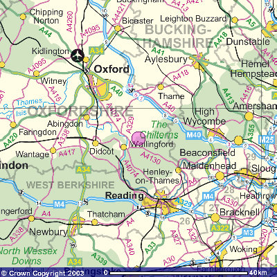
Ewelme (centre) within Berks, Bucks and Oxon.
Image produced from the Ordnance Survey Get-a-map service. Image reproduced with kind permission of Ordnance Survey and Ordnance Survey of Northern Ireland.